 DISCOVER TORTOLA, BRITISH VIRGIN ISLANDS
Tortola is the largest and most populated of the British Virgin Islands, a group of islands which form part of the archipelago of the Virgin Islands. Local belief is that the name was originally given to the island by Christopher Columbus, meaning land of the Turtle Dove. In actuality Columbus named the island Santa Ana.
DISCOVER TORTOLA:
Destination Tortola,
Fort Burt,
Fort Charlotte,
Fort George,
Fort Purcell,
Queen Elizabeth Bridge,
Road Town,
Road Town Fort,
| DESTINATION TORTOLA: Destinations, Attractions & Culture |
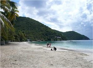
 DISCOVER TORTOLA
Tortola is the largest and most populated of the British Virgin Islands, a group of islands which form part of the archipelago of the Virgin Islands. Local belief is that the name was originally given to the island by Christopher Columbus, meaning land of the Turtle Dove. In actuality Columbus named the island Santa Ana ...
|
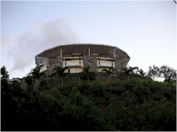
 FORT BURT, TORTOLA
Fort Burt is a colonial fort which was erected on the southwest edge of Road Town, Tortola in the British Virgin Islands above Road Reef Marina. The site is now a hotel and restaurant of the same name, and relatively little of the original structure remains. However, one of the original cannons has survived ...
|
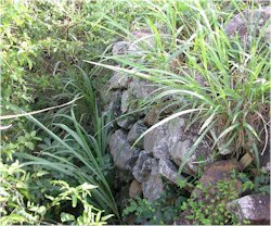
 FORT CHARLOTTE, TORTOLA
Fort Charlotte is a fort built on Harrigan's Hill (above Macnamara), Tortola, British Virgin Islands. The fort was named after Charlotte of Mecklenburg-Strelitz, who was the wife of King George III. The fort was built by the British Royal Engineers in 1794 at an elevation of approximately 947 feet over Road Town ...
|
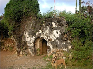
 FORT GEORGE, TORTOLA
Fort George is a colonial fort which was erected on the northeast edge of Road Town, Tortola in the British Virgin Islands above Baugher's Bay. The site is now a ruin. The original structure is believed by some to have been built at an unascertained date by the original Dutch settlers of the islands to protect slave pens ...
|
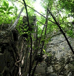
 FORT PURCELL, TORTOLA
Fort Purcell (more often as The Dungeon) is a ruined fort near Pockwood Pond on the island of Tortola in the British Virgin Islands. The Fort was originally built by the Dutch at an unascertained date in either the late 16th or very early 17th century, and was known by the Spanish authorities in Puerto Rico as the 'dojon' ...
|
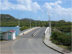
 QUEEN ELIZABETH BRIDGE
The Queen Elizabeth II Bridge is a bridge that links Beef Island with Tortola in the British Virgin Islands. Two bridges have shared the same name, with one lasting from 1966 to 2003, and a new bridge that was completed in 2002. The first Queen Elizabeth II Bridge was opened in February 1966 by Queen Elizabeth II ...
|
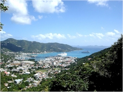
 ROAD TOWN, TORTOLA
Road Town, located on Tortola, is the capital of the British Virgin Islands. It is situated on the horseshoe-shaped Road Harbour in the center of the island's south coast. The town's population was about 9,400 in 2004. Road Town is one of the principal center for bareboating (self-hire yacht chartering) in the Caribbean ...
|
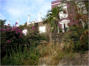
 ROAD TOWN FORT, TORTOLA
Road Town Fort is a colonial fort which was erected on Russell Hill in Road Town, Tortola in the British Virgin Islands above the town's main wharf. In historical records it is sometimes referred to as Fort Road Town. The fort subsequently fell into ruin, and in the 1960s the Bougainvillea clinic ...
|
 BRITISH VIRGIN ISLANDS TOURS, TRAVEL & ACTIVITIES BRITISH VIRGIN ISLANDS TOURS, TRAVEL & ACTIVITIES
British Virgin Islands destination information from sources at Wikipedia, the Free Encyclopedia
For photo credits and information, please click here or the individual pages.
HOME •
CARIBBEAN •
DISCOVER •
BRITISH VIRGIN ISLANDS •
TORTOLA
|
|
Looking for something specific?
|
|

 About Tortola
 Road Town
 Fort George
 Fort Purcell
 DISCOVER TORTOLA
 FORT BURT, TORTOLA
 FORT CHARLOTTE, TORTOLA
 FORT GEORGE, TORTOLA
 FORT PURCELL, TORTOLA
 QUEEN ELIZABETH BRIDGE
 ROAD TOWN, TORTOLA
 ROAD TOWN FORT, TORTOLA
 BRITISH VIRGIN ISLANDS TOURS, TRAVEL & ACTIVITIES


 DISCOVER TORTOLA, BRITISH VIRGIN ISLANDS